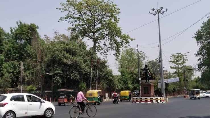
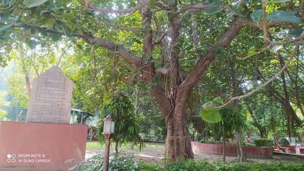
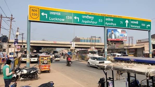
Mawai Chauraha sits at the centre of Mawai, a genuine market town and block headquarters in Rudauli tehsil, Ayodhya district, positioned close to the small village of Amirpur. As one of the larger commercial centres serving this rural stretch of Ayodhya district, this chauraha functions as a lifeline for dozens of surrounding villages, offering healthcare, banking, and market access that would otherwise require a much longer trip.
Quick Facts: Mawai Chauraha
|
Detail |
Information |
|
Full Location |
Mawai Chauraha, Mawai, Rudauli Tehsil, Ayodhya District |
|
Pin Code |
224117 |
|
Nearby Village |
Amirpur (pin 224120) |
|
District |
Ayodhya |
|
State |
Uttar Pradesh |
|
Tehsil |
Rudauli |
|
Distance from Ayodhya City |
Approximately 58 km |
|
Notable Facility |
Police station, market, hospitals |
Where Exactly Is Mawai Chauraha?
Mawai Chauraha is located in the town of Mawai, a block headquarters within Rudauli tehsil of Ayodhya district, situated roughly 58 km west of Ayodhya city. Mawai itself functions as a big market for the surrounding rural belt, and the chauraha marks the commercial heart of this town, which also hosts its own police station and serves as the administrative centre for the Mawai Block Panchayat.
Nearby Amirpur, a small village of around 822 residents falling under the Majanpur Gram Panchayat, sits within the same Mawai Block Panchayat jurisdiction, making Mawai Chauraha the natural commercial destination for Amirpur’s residents and those from numerous surrounding villages across this genuinely rural stretch of Rudauli tehsil.
How to Reach Mawai Chauraha
Given its position within Rudauli tehsil, the chauraha is primarily accessible by road from surrounding towns.
- From Rudauli town: Approximately 8 km, a short local drive.
- From Ayodhya city: Around 58 km, roughly a 1.5–2 hour drive.
- From Rudauli Railway Station: A reasonable local distance, given the station’s role as a busy stop on the Lucknow-Varanasi rail corridor.
- From Lucknow: Approximately 2 hours by road, given the broader regional distance.
Getting Around: Roads and Rail
Roads
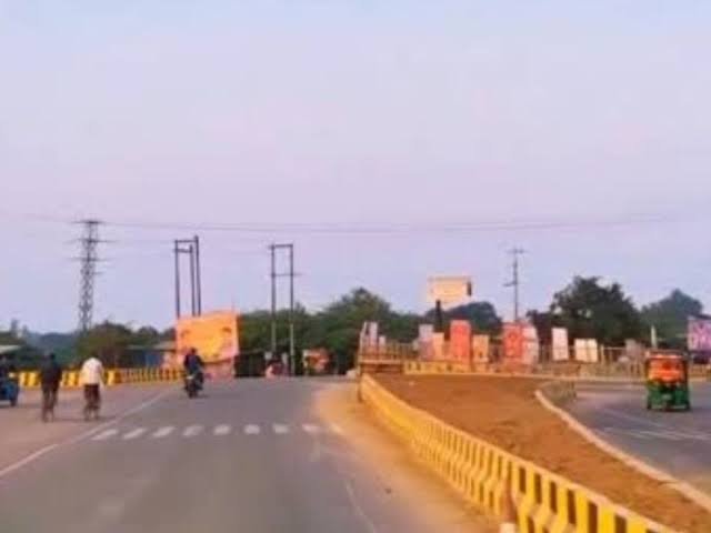
Mawai Chauraha functions as the connecting point for local roads serving the town and surrounding rural villages.
- Local roads connecting Mawai to Amirpur, Dullapur, and other nearby villages
- The Tikait Nagar-Mankapur Road passing near Amirpur, roughly 1.6 km from the chauraha
- Connectivity toward Rudauli, Dariyabad, and Puredalai, all within a reasonable local distance
- Traffic reflects the town’s role as a genuine rural market centre, busier during market days
Rail
- Rudauli Railway Station, roughly 8 km away, serves as the nearest significant rail connection, described as the busiest station between Lucknow and Varanasi after Ayodhya Junction
- Patranga Railway Station, a smaller nearby option, sits within reasonable distance of the broader Mawai block area
Local Transport
- Shared tempos, auto-rickshaws, and local buses connect Mawai to Rudauli and surrounding villages
- Given the area’s rural character, private vehicles remain a practical option for reaching more remote villages like Amirpur
- Transport patterns tend to follow local market and agricultural schedules
What’s Nearby: Healthcare, Markets, and Everyday Essentials
- Fatima Homoeopathic Hospital & Research Centre, located directly on Mawai Road near the chauraha
- Aamina Hospital, another healthcare facility serving both Mawai Chauraha and the Amirpur area
- Viswanath Sweet House, a well-known local establishment near the chauraha in Sikri
- An Indian Oil Petrol Pump and local market stalls serving the town’s daily commercial needs
Important points worth knowing before visiting:
- As a rural block headquarters, Mawai’s commercial activity and services are genuinely essential for numerous surrounding villages, including Amirpur, so plan around typical market hours for the best experience
- Given the semi-rural road network connecting Mawai to villages like Amirpur and Dullapur, allowing extra travel time is advisable, particularly during monsoon season
- The presence of two hospitals directly at the chauraha makes it a genuinely useful healthcare access point for this stretch of Rudauli tehsil
Why This Junction Matters for Rural Ayodhya District
Mawai Chauraha serves as an essential rural hub within Ayodhya district’s Rudauli tehsil, providing market access, healthcare, and civic administration for a substantial catchment of surrounding villages, including Amirpur. Its role as both a market town and block headquarters means residents across this stretch of the district can access essential services without needing to travel all the way to Rudauli or Ayodhya city. For this part of rural Ayodhya district, Mawai Chauraha remains a genuinely indispensable local landmark.
Frequently Asked Questions
Q1. What pin code covers Mawai Chauraha?
The area falls under pin code 224117, while nearby Amirpur village uses pin code 224120.
Q2. How far is Mawai Chauraha from Amirpur village?
They’re closely connected, with Amirpur falling under the same Mawai Block Panchayat, roughly 1.6–2 km from the chauraha.
Q3. Which railway station is closest to Mawai Chauraha?
Rudauli Railway Station, approximately 8 km away, is the nearest significant rail connection.
Q4. What healthcare facilities are available at Mawai Chauraha?
Fatima Homoeopathic Hospital & Research Centre and Aamina Hospital both operate directly at the chauraha, serving the surrounding rural population.