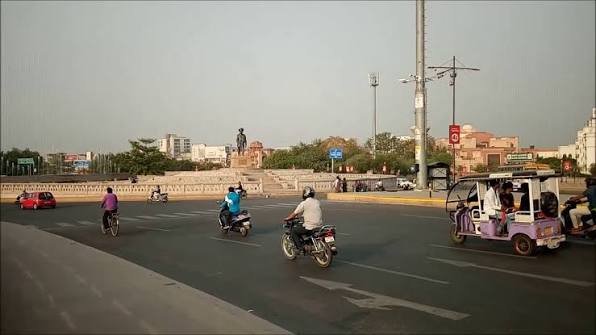
Mangalwad Chauraha sits at the centre of Mangalwad, a small but functionally important town in the Dungla tehsil of Chittorgarh district, Rajasthan. Serving as the local administrative and commercial anchor for a cluster of surrounding villages, this chauraha connects residents to essential civic services, including its own dedicated police station, making it a genuine point of reference for this stretch of rural Chittorgarh.
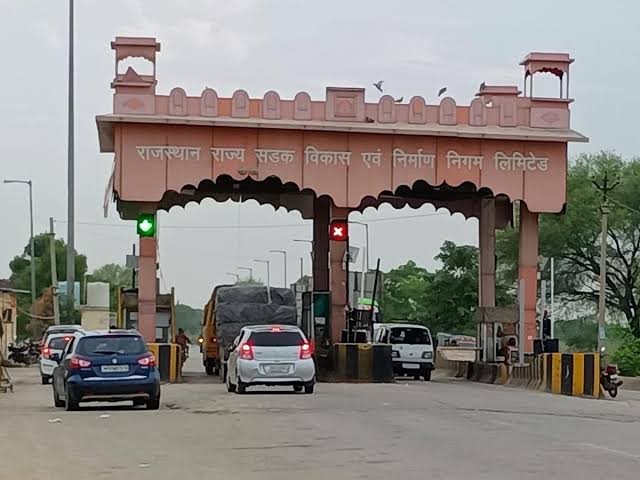
Quick Facts: Mangalwad Chauraha
| Detail | Information |
| Full Location | Mangalwad Chauraha, Dungla Tehsil, Chittorgarh District |
| Pin Code | 312024 |
| District | Chittorgarh |
| State | Rajasthan |
| Postal Taluk | Dungla |
| Postal Division | Chittorgarh |
| Postal Region | Ajmer |
| Notable Facility | Mangalwad Police Station |
| Local Character | Rural administrative and commercial hub |
Where Exactly Is Mangalwad Chauraha?
Mangalwad Chauraha is located in Mangalwad town, part of the Dungla tehsil in Chittorgarh district, Rajasthan. The area falls under the Ajmer postal region and is served by its own branch post office, reflecting its status as a functioning administrative centre rather than a purely residential village.
Chittorgarh district itself is well known for its historic fort and Rajput heritage, and Mangalwad, while smaller in profile, plays a genuinely practical role as one of the district’s rural service centres. The presence of Mangalwad Police Station at the chauraha underscores the town’s function as a local civic anchor for the surrounding villages within Dungla tehsil.
How to Reach Mangalwad Chauraha
Given its position within Dungla tehsil, the chauraha is primarily accessible by road from Chittorgarh city and nearby towns.
- From Chittorgarh city: Approximately 45–50 minutes by road, depending on the exact route through Dungla tehsil.
- From Udaipur: Around 1.5–2 hours by road, given the broader regional distance across this part of southern Rajasthan.
- From Pratapgarh: Roughly 1–1.5 hours by road, connecting through the local district network.
- From Nathdwara: Approximately 1 hour by road, given its proximity within the same general region.
Getting Around: Roads and Local Transport
Roads
Mangalwad Chauraha functions as a connecting point for local roads serving Dungla tehsil’s rural belt.
- Local roads linking Mangalwad to Dungla town and other tehsil villages
- Connectivity toward Chittorgarh city via the broader district road network
- Road conditions typical of rural Rajasthan, with village-connector roads generally narrower than main highways
- Traffic reflects the town’s role as a local service centre rather than a major transit corridor
Local Transport
- Shared jeeps, tempos, and local buses connect Mangalwad to Dungla and Chittorgarh city
- Given the area’s rural character, private vehicles and shared transport remain the most practical options for reaching the chauraha
- Travel schedules often follow local market timings, so planning around these can improve convenience
What’s Nearby: Civic Services and Everyday Essentials
- Mangalwad Police Station, the town’s key civic and security institution, serving the surrounding villages within Dungla tehsil
- Mangalwad Branch Post Office, providing standard postal services for the local population
- Local shops and general stores serving the everyday needs of Mangalwad and nearby villages
- Basic civic infrastructure typical of a rural tehsil service centre in Chittorgarh district
Important points worth knowing before visiting:
- As a rural service town, Mangalwad’s commercial activity tends to be more limited than larger towns like Chittorgarh or Nathdwara, so plan errands accordingly if you need extensive shopping options
- Given the region’s rural road network, allowing extra travel time is advisable, particularly during monsoon season when road conditions can be affected
- The presence of a dedicated police station makes Mangalwad a useful reference point for administrative and civic matters for residents of surrounding villages
Why This Junction Matters for Dungla Tehsil
Mangalwad Chauraha holds genuine significance as one of the functional administrative centres within Chittorgarh district’s Dungla tehsil, anchored by its police station and postal services. For residents of the surrounding rural villages, this chauraha represents the nearest point of access to essential civic infrastructure without needing to travel all the way into Chittorgarh city. As a modest but dependable rural hub, Mangalwad Chauraha continues to serve its role as a practical local landmark within this part of southern Rajasthan.
Frequently Asked Questions
Q1. What pin code covers Mangalwad Chauraha?
The area falls under pin code 312024, part of Chittorgarh district’s Dungla tehsil.
Q2. Which police station serves the Mangalwad area?
Mangalwad Police Station is located directly in the town, serving Mangalwad and its surrounding villages.
Q3. How far is Mangalwad Chauraha from Chittorgarh city?
It’s approximately 45–50 minutes by road, depending on the specific route through Dungla tehsil.
Q4. What tehsil does Mangalwad fall under?
Mangalwad falls under Dungla tehsil in Chittorgarh district, Rajasthan.